Science-backed software for land & water management
Upstream Tech builds tools that help organizations monitor, forecast, and manage natural resources at scale.
An interdisciplinary approach
We combine satellite imagery, machine learning, and domain expertise to build software that helps organizations make better decisions about the natural world.
Our products
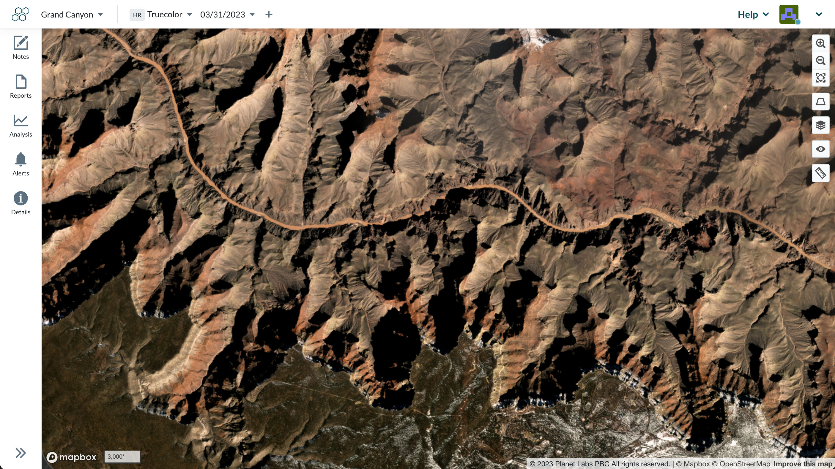
Lens
Monitor land use and land cover change with satellite imagery. Built for conservation, agriculture, carbon, government, and utilities.
HydroForecast
Industry-leading streamflow forecasts powered by machine learning. Built for hydropower, energy trading, water utilities, and mining.
Leading the industry in innovation
Our team of scientists, engineers, and designers works at the intersection of remote sensing, hydrology, and machine learning to deliver tools that make a real difference.